The United Nations Office for Project Services (UNOPS)
Compass
Geospatial and AI solutions for global impact
Watch now
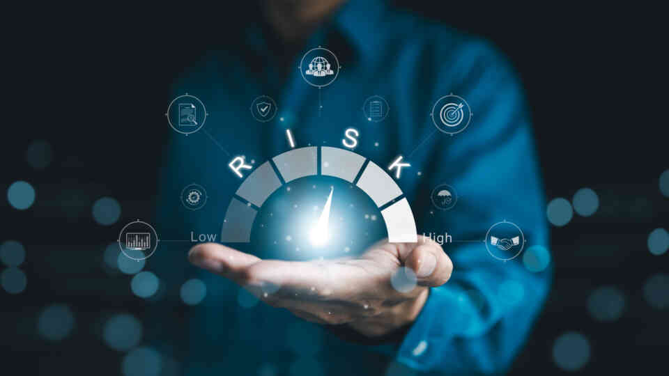
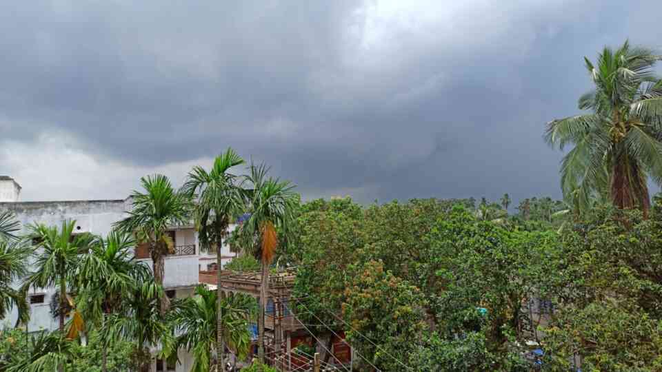
Discover how advanced geospatial and artificial intelligence tools, such as satellite imagery, mapping technologies and location data, can support communities worldwide by enabling quicker disaster response.
Compass is UNOPS geospatial innovation and analytics facility. It delivers specialized mapping and data services to support crisis response, recovery and sustainable development.
By combining satellite imagery, mapping technologies and artificial intelligence, Compass helps partners analyze risks, monitor change and make better decisions – faster.
What Compass does
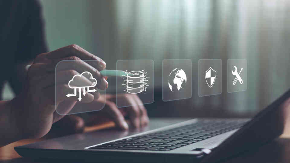
Data, mapping and monitoring
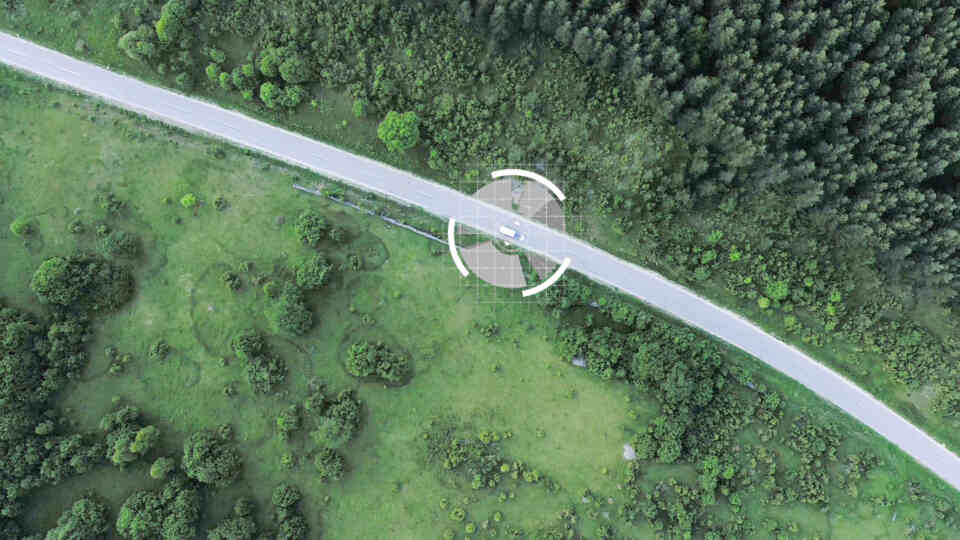
Compass brings together satellite data, field information and partner datasets into secure, cloud-based systems. These tools provide a reliable, up-to-date picture of conditions on the ground - from infrastructure damage to environmental change.
Analysis and decision support
Using geospatial analysis and AI, Compass helps identify risks, prioritize needs and guide planning in complex environments. This supports safer operations, more effective recovery and smarter investment decisions.
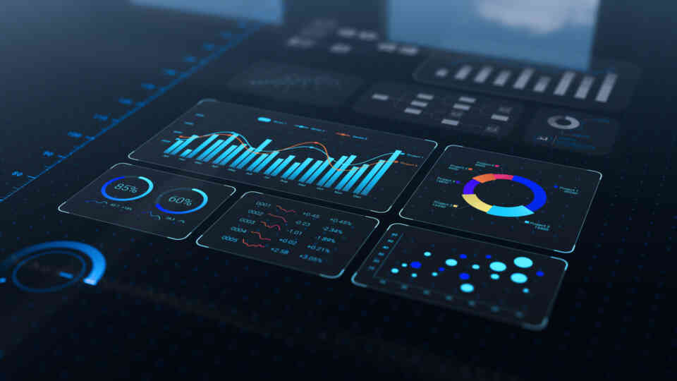
Visualization and evidence
Compass transforms complex data into clear maps, dashboards and visual evidence that support coordination, accountability and communication with governments, donors and communities.
Compass transforms how we see the world and how we act within it. By harnessing the power of data and AI, we can identify risks earlier, respond to crises faster and ensure that our work delivers lasting benefits to the communities we serve.
Where we work
These tools are used across fragile, conflict-affected and climate-vulnerable contexts. From urban crisis response to national-level planning systems.
Compass supports work towards the Sustainable Development Goals worldwide, including:
Colombia
Post-conflict recovery monitoring: This tool uses AI to track the recovery of both infrastructure and nature in former conflict zones. It detects new construction and vegetation growth, measuring the physical progress of peace and development across the country.
Global
UNOPS disaster response platform: Developed in partnership with the Massachusetts Institute of Technology, this platform uses AI and satellite imagery to detect disaster damage from space. By identifying exactly where help is needed most, it guides rapid emergency relief and helps communities plan their long-term rebuilding efforts.
Ukraine
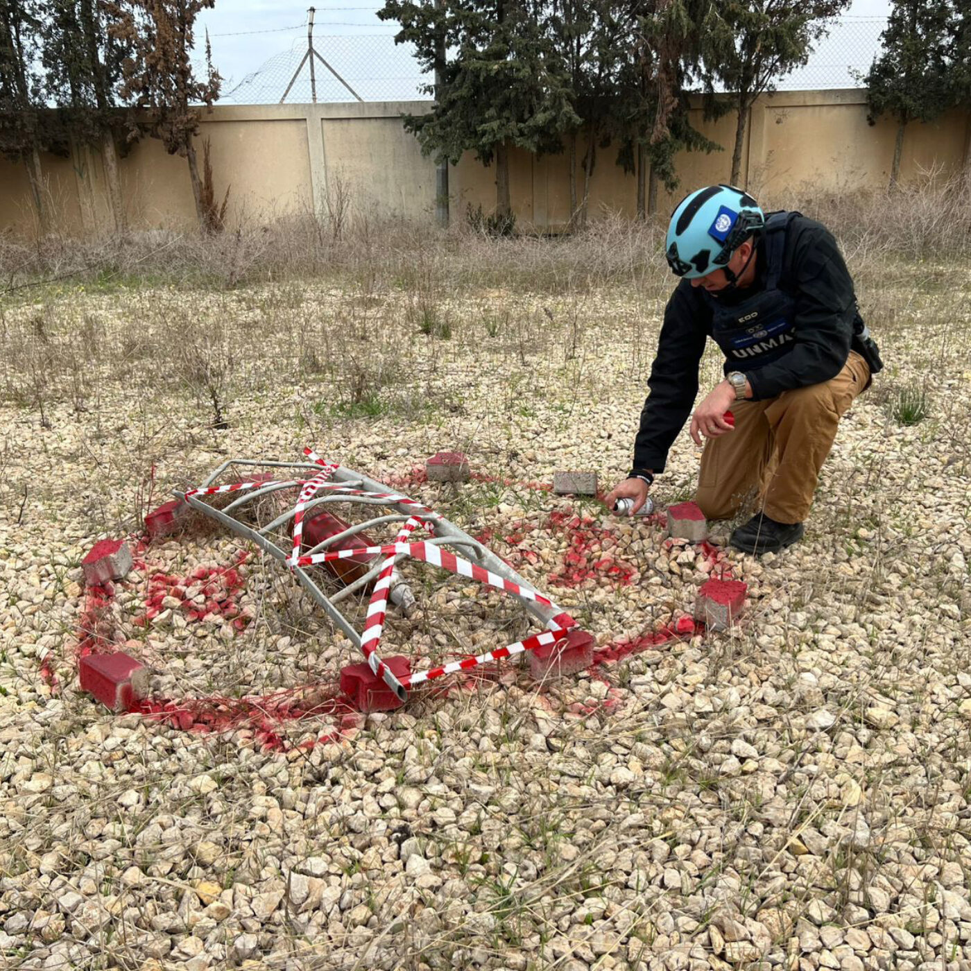
Humanitarian mine action information system: This national digital platform was developed for our partner UNDP and supports non-technical survey (NTS) and explosive ordnance risk education (EORE) by organizing and mapping mine action data across Ukraine. By standardizing reporting and visualizing contamination, risk, and community outreach activities, it helps national authorities and partners prioritize high-risk areas, coordinate operations, and protect civilians during ongoing conflict and recovery efforts.
Jamaica
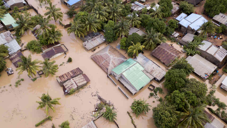
Construction and rubble monitoring: Following Hurricane Melissa, this AI tool helps manage the cleanup and rebuilding process. It detects structural problems in buildings and estimates the volume of rubble at remote sites, ensuring reconstruction is safe and efficient.
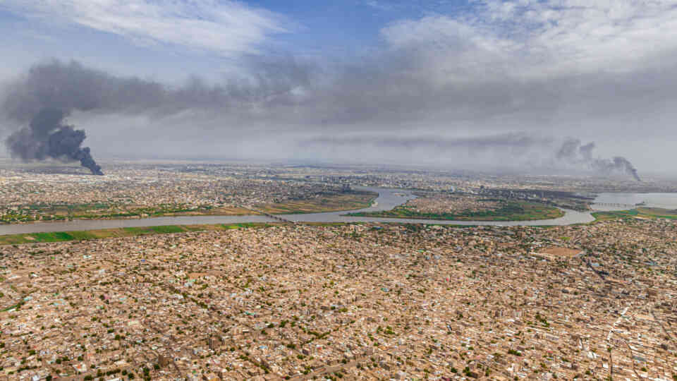
Sudan
Automated damage assessment: Using AI and satellite imagery, this system maps the destruction of vital infrastructure, including hospitals, schools and power plants. It measures the scale of damage to help partners identify the most urgent recovery needs and plan reconstruction efficiently.
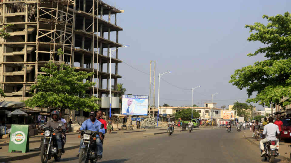
Togo
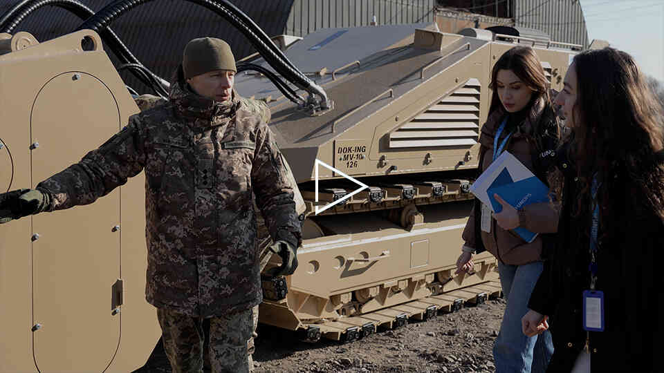
Counter-improvised explosive device information management: In partnership with the UN and the European Union, this initiative equips the Togolese Armed Forces with smart tracking tools to counter improvised explosive devices. Real-time AI analysis helps predict threats before they happen, improving security and protecting civilian lives.
Sri Lanka
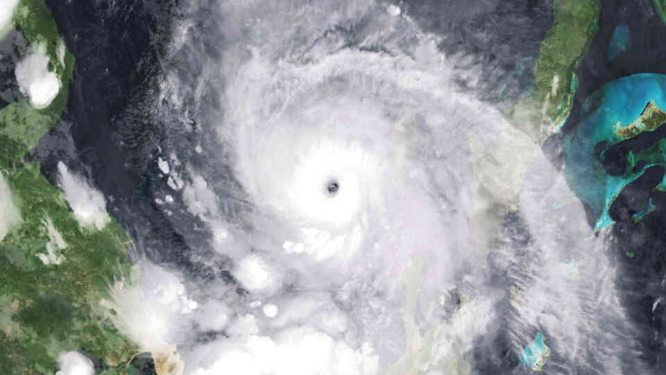
Post-cyclone risk mapping: Following Cyclone Ditwah, we use satellite data to map flood and landslide risks. This analysis helps national authorities assess the scale of the damage and coordinate safe, effective recovery plans.
Global
Earth observation intelligence system: Partnering with Google and the Spatial Informatics Group, this satellite-to-decision system turns satellite imagery into clear, actionable answers. AI-driven tools analyze the Earth from above to assess damage, monitor the environment, and plan infrastructure, helping leaders make smarter decisions in crisis zones.
Sahel & Horn of Africa
Flood exposure analytics: This tool uses AI to predict and analyze flood risks across vulnerable regions. By identifying which areas are most exposed, it helps communities create effective evacuation plans and prepare for emergencies before disaster strikes.
Panama
Forecasting road safety: Using satellite analysis, we predict where roads are likely to fail before the rainy season begins. This early warning system allows teams to reinforce weak spots ahead of time, preventing washouts and keeping communities connected.
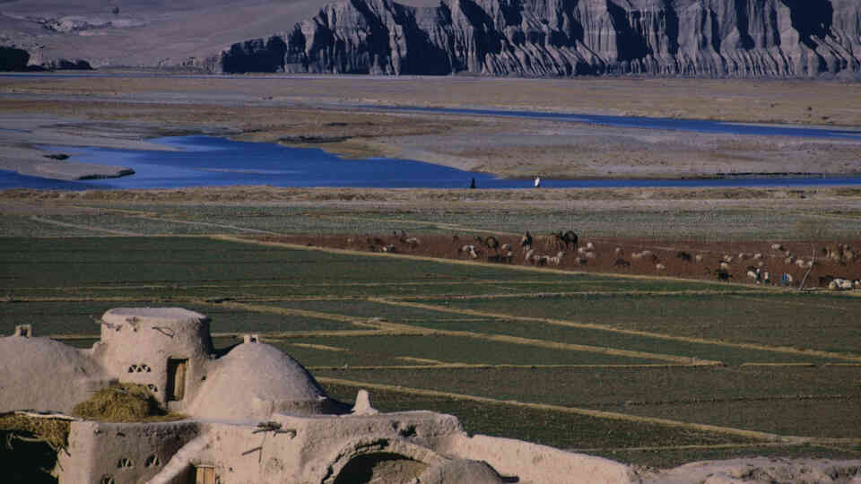
Afghanistan
Land recovery and river monitoring: We deploy two specialized monitoring tools to support Afghanistan’s recovery. First, radar technology tracks how land is utilized after demining to measure the impact of clearance. Second, satellite analytics track decades of river changes, helping planners identify flood risks and build infrastructure in safer locations.
Global
UNMAS Global Information Management System: This global digital platform helps track and map explosive hazards in conflict zones. By organizing vital data, it guides teams on where to clear mines first, making operations in high-risk areas like Gaza, Syria, and Afghanistan safer and more effective.
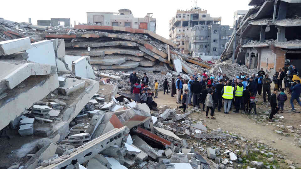
Gaza
Automated damage mapping: Our system automatically maps the destruction of vital infrastructure, including hospitals, schools and energy grids. It measures the full scale of damage to provide a clear, data-driven picture of the crisis on the ground.
Global
SDG Data Fabric: Developed with the UN Innovation Network, this platform uses blockchain technology to verify progress on the Sustainable Development Goals. It allows countries and agencies to share trusted data directly from their own systems, ensuring accuracy without the need to build a central database.
Caribbean
Hurricane damage assessment: Following Hurricane Beryl, we deployed AI and satellite tools to map the impact across Grenada and Saint Vincent and the Grenadines. By measuring the damage to homes and public infrastructure, this system provided the critical data needed to guide national recovery plans.
Using AI to transform mine action
We developed an artificial intelligence solution that supports the full humanitarian mine action cycle – from identifying hazardous areas, to tracking the recovery impact of cleared land.
How we work
Partnership-driven innovation
Compass works in partnership with UN entities, governments, academic institutions and technology providers. This includes collaborations with leading universities and global data providers, to translate innovation into practical, field-ready solutions.
Operational focus
All Compass tools are designed to support real-world delivery. Improving coordination, strengthening national systems and enabling faster, more transparent project implementation.
Want to know more?
To learn more about our solutions or to explore partnership opportunities, please get in touch with the team