


The United Nations Office for Project Services (UNOPS)
Improving market access in Haiti
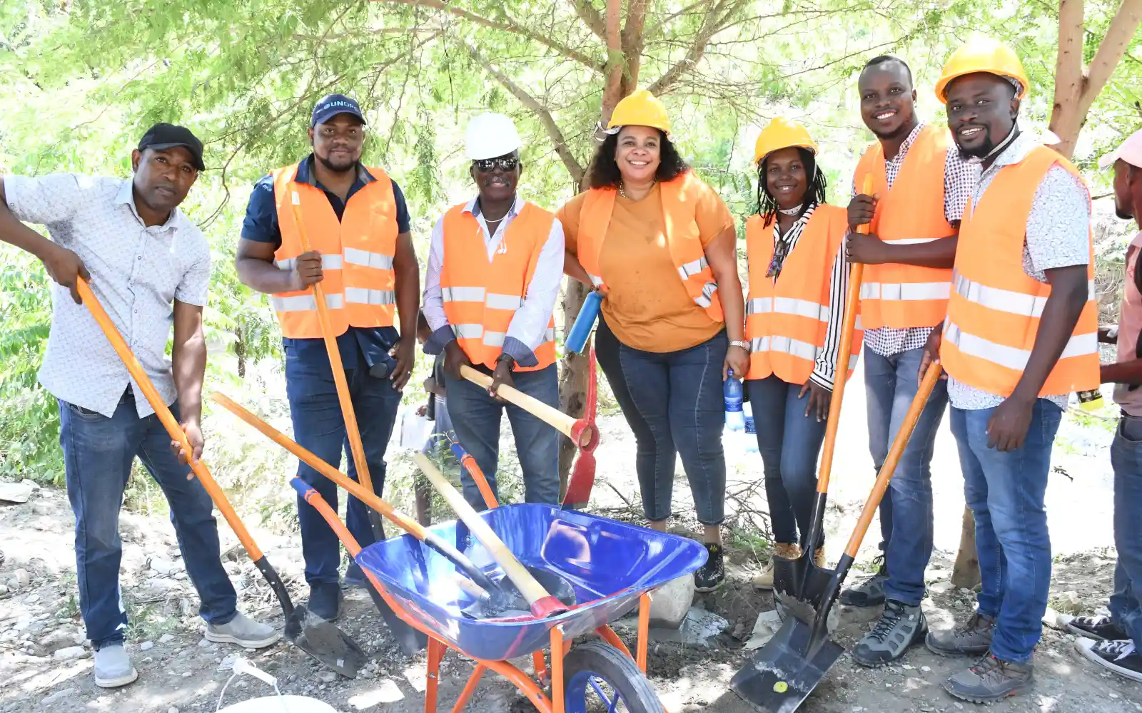
Working with the Ministry of Agriculture, Natural Resources and Rural Development (MANRRD), UNOPS is rehabilitating rural roads and building local capacity in the country’s north.
For millions in Haiti, agriculture represents a lifeline.
In a country facing high levels of food insecurity, agriculture and fisheries sustain rural communities and provide income for the most vulnerable. Yet these sectors are struggling with the impacts of climate shocks and persistent production losses.
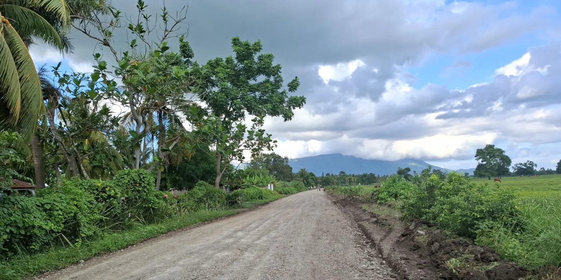
Poor infrastructure makes matters worse. With much of the road network in poor condition, for many producers, reaching markets can be difficult.
With funding from the Inter-American Development Bank (IDB) and in partnership with the Ministry of Agriculture, Natural Resources, and Rural Development, UNOPS is implementing the ‘Programme to support agricultural and fisheries productivity and improve rural infrastructure for market access (PAPAIR)’.
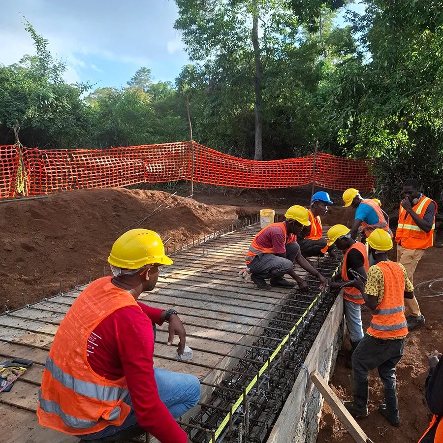
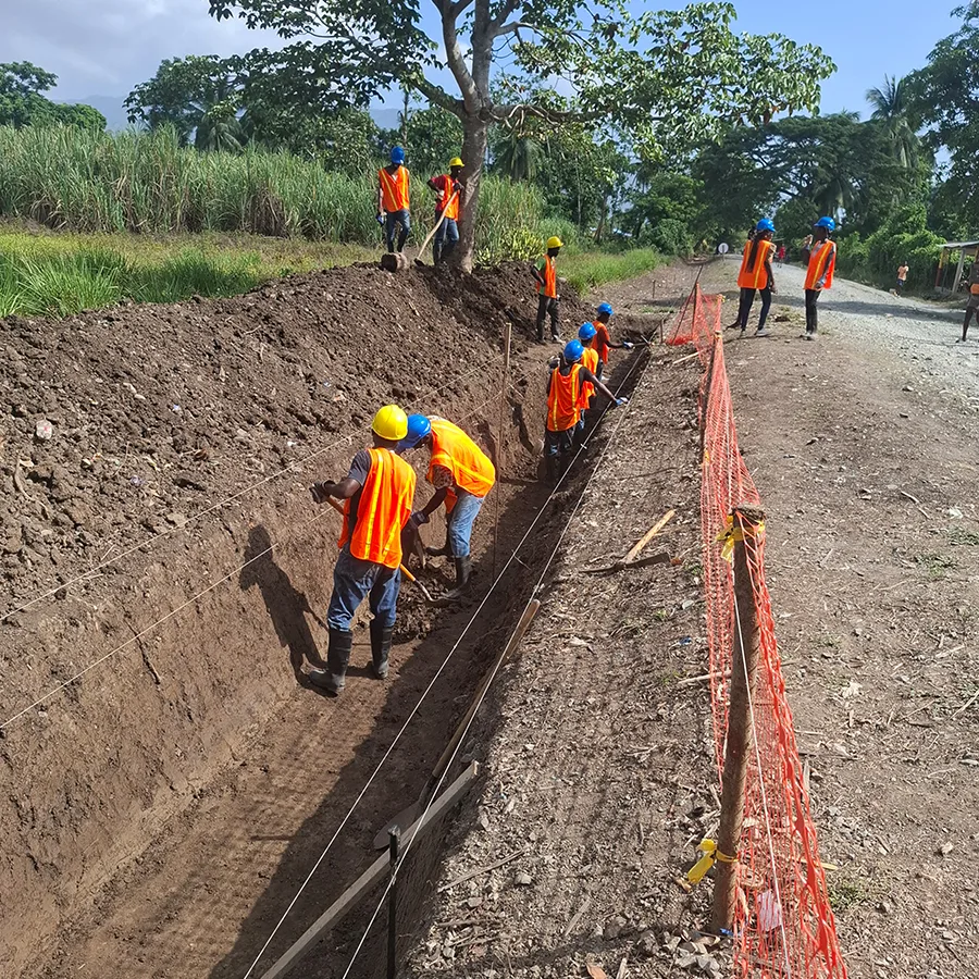
Under the programme, UNOPS is rehabilitating more than 75 kilometres of rural roads in northern and northeast Haiti – helping to improve market access and strengthen food security, while supporting livelihoods.
The initiative also includes various capacity building initiatives to strengthen local capacities and ensure long-term sustainability.
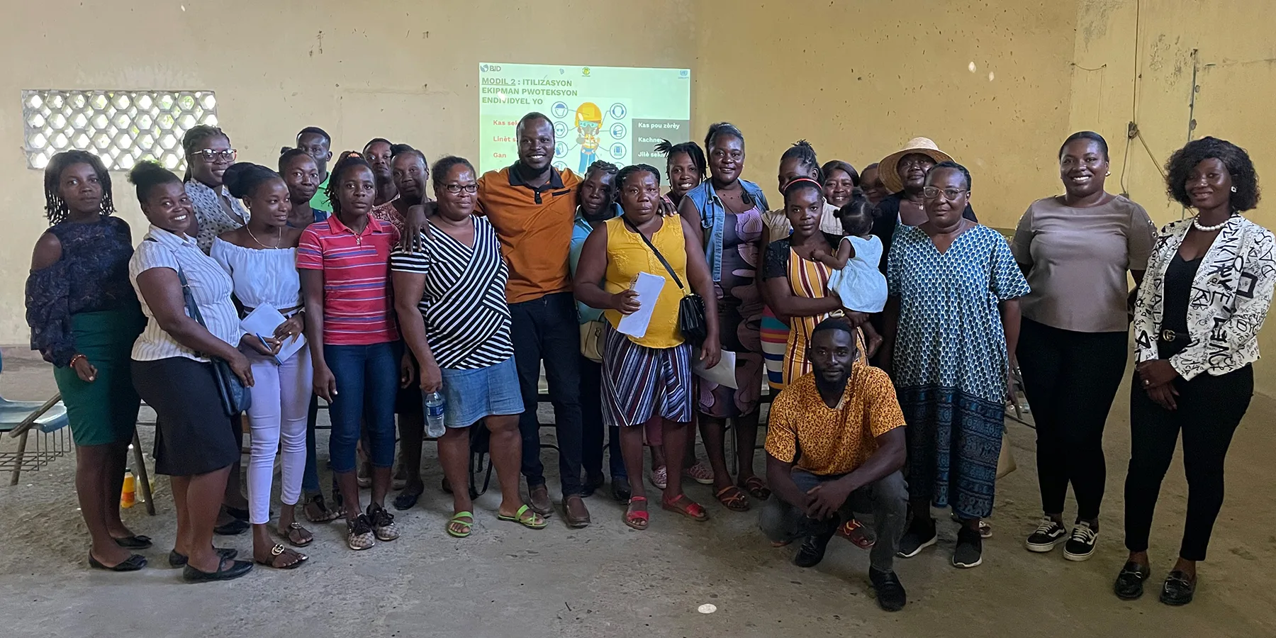
Community development projects often prioritize physical infrastructure with limited attention to capacity-building. At UNOPS, we focus on building local capacity to foster community ownership and ensure long-term impact.
Working with community-based organizations, community leaders, local workers and public institutions, UNOPS has trained more than 50 participants in the North and Northeast departments, in areas including community mobilization, project management, rural road maintenance techniques, and geographic information systems.
“I learnt how to use geographic information systems to organize field data and make maps. This will allow me to better target and prioritize projects in my municipality. I will be able to diagnose rural roads, recommend suitable solutions and support the monitoring of work in the field,” said a representative from a municipal agricultural office who attended the training.