


The United Nations Office for Project Services (UNOPS)
Supercharging progress towards the SDGs with better data

Geographic Information Systems may just be a secret ingredient to accelerating progress on the Sustainable Development Goals.
Modern challenges
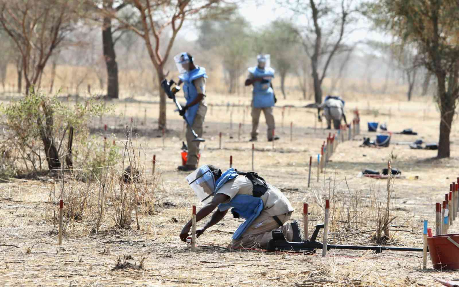
The past ten years have demonstrated just how fragile and vulnerable many health systems are around the world. If we have any doubt, we need only look at their struggle during the COVID-19 pandemic. The issue is compounded by increasingly severe and unpredictable weather events, economic turbulence, social instability and conflict. The vulnerabilities we see tend to be more concentrated in the world’s least developed countries, forcing the rural and urban poor to bear the brunt of these problems.
A lack of services as well as inequalities and inequities in service delivery prevent communities from accessing key services like health. This in turn keeps our global community from achieving Sustainable Development Goal 3 (good health and wellbeing).
We must recognize the problem for what it is: a global one.
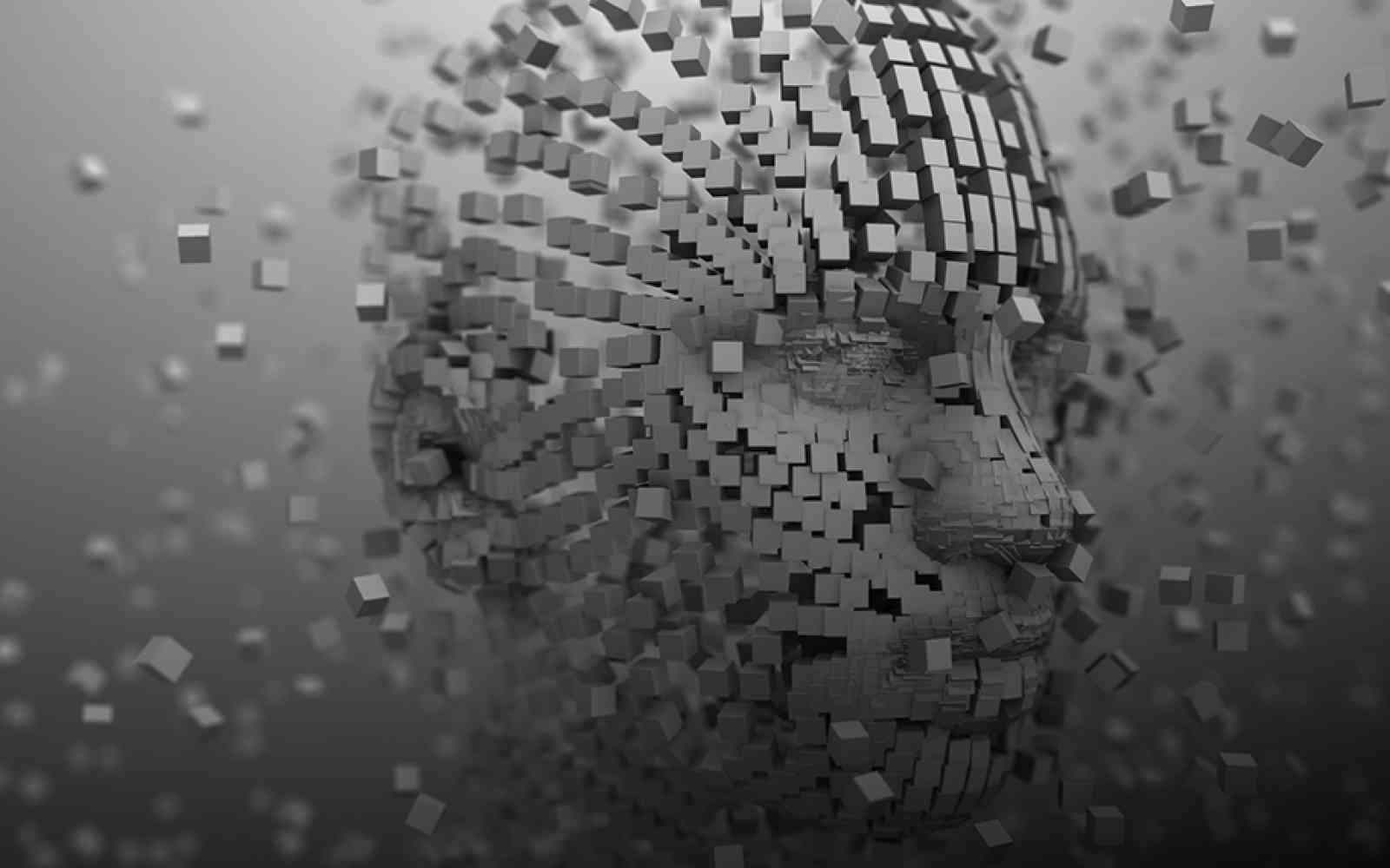
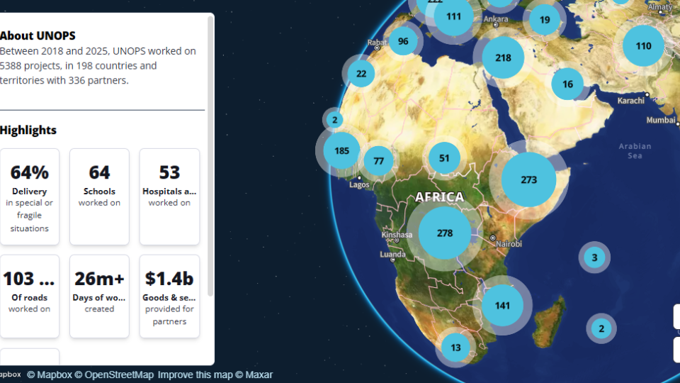
Geographic Information Systems (GIS) capture, store and represent spatial data. One GIS map can show everything from roads, buildings and power grids to vegetation and bodies of water, as well as information about community behaviour. GIS technology advancement over the past few decades offers a sophisticated way of creating maps and more.
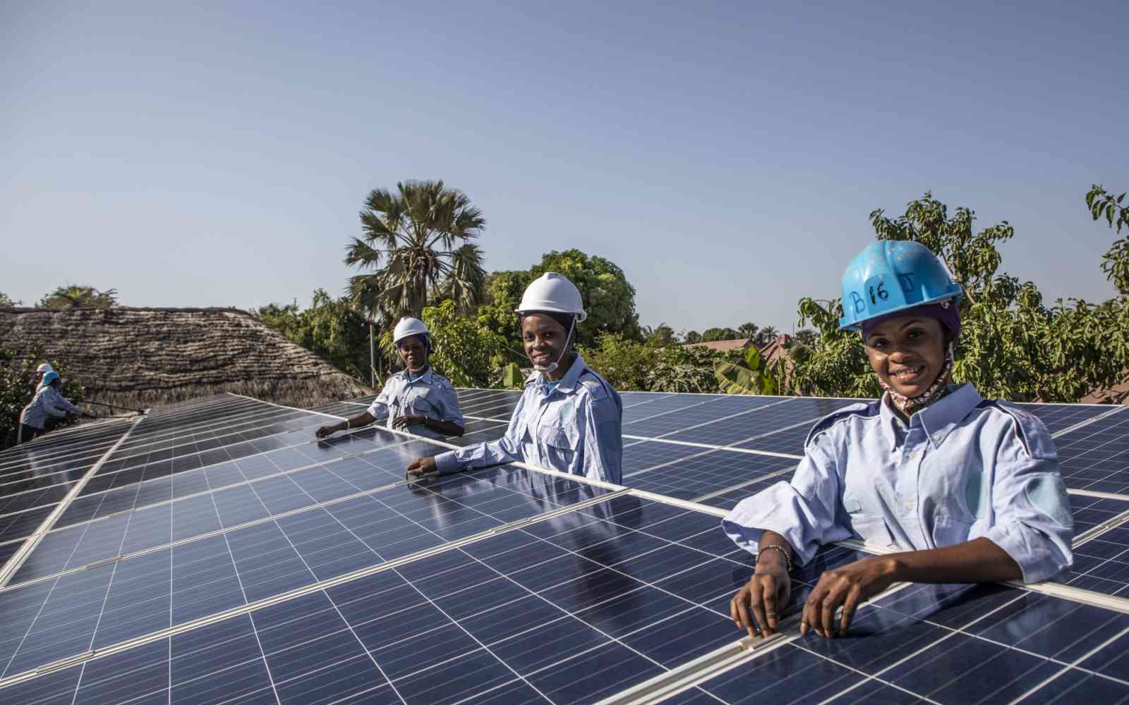
It is not enough that we build health infrastructure. We must develop health infrastructure that takes into account the varied needs of the communities being served. And we need infrastructure that can withstand shocks and stressors for generations to come. Anything else will only offer temporary solutions and waste precious development resources. Essentially, sustainability, inclusion and resilience must be our drivers.
GIS to supercharge progress towards the SDGs
Geospatial tools are important in designing and implementing sustainable health systems at all levels. Mapping gives decision-makers the data they need to answer questions.
Are maternal deaths related to travel time? Are these in turn influenced by road conditions? What and where are the populations that are most vulnerable to climate change risks? Where is there a shortage of healthcare services?
Having populations and situations accurately represented on maps can counter presumptions and mitigate the risk of misjudgment.
Be informed: use GIS data to make decisions
Needs assessments and providing equal access to healthcare for marginalized groups can benefit from geospatial systems. We can build tools that take into account where communities are located, consider local beliefs and cultures, and create robust programmes that are particularly tailored to those communities’ specific circumstances.
The Rural Access Index (RAI) measurement tool, developed by the World Bank in 2006, is very helpful for this type of mapping. Its data can be used to inform decisions that place healthcare infrastructure within walking distance of the catchment population, for greater accessibility and efficiency.
Pastoralists like the Masaai community, scattered over East Africa, are known to migrate seasonally with their livestock. The movement is largely dependent on climatic conditions, availability of pasture, water and land rights. In such communities, there is low coverage of key maternal health interventions.
GIS models based on satellite imagery and other auxiliary data can help us understand migratory patterns, uncover the distribution of land rights and locate resources. Based on these models, we can deliver healthcare programmes, such as vaccinations, to these communities depending on where they are at a particular time of the year. We can also use GIS tools for disease surveillance to map outbreaks in these communities.
GIS tools can be developed to determine whether social, economic and environmental development is truly sustainable. GIS can be applied to predict future natural resource patterns and identify reliable sites for mobile service delivery that will be cost-effective and, most importantly, accessible by communities like the Masaai.
The path ahead
Building resilience demands that we account for current and future anticipated risks, threats and hazards – which have steadily grown in both frequency and intensity over the past couple of decades, including the impacts of climate change. We need to accurately see conditions as they are.
To that end, GIS can inform smart decisions on where we choose to make investments in healthcare infrastructure assets by contextualizing location. For instance, with flood, hydrologic and sea-level rise pattern analyses, GIS can help mitigate the risk of selecting a construction site in flood-prone locations.
Many of the SDGs are inherently geospatial. GIS allows us to track progress towards the Goals and indeed the complex relationships between them at multiple points in time and across numerous locations.

Aquilina Wawira Mwandiko and Dominic Njue Mugo
Aquilina Wawira Mwandiko is a Geospatial Officer with the Kenya Multi-Country Office's Technical Services Unit. She has a Bachelor's degree in Geo-informatics Technology and a Master's degree in GIS.
Dominic Njue Mugo is a Geospatial Associate with the Kenya Multi-Country Office's Technical Services Unit. He has a Bachelor's degree in Geography.